Geographers tap into technology to put people on the map

Researchers at the University of Southampton have been recognised for using data from satellites, mobile phones and other sources to support the governments of low income countries to build population statistics and plan for the future.
Researchers at the University of Southampton have been recognised for using data from satellites, mobile phones and other sources to support the governments of low income countries to build population statistics and plan for the future.
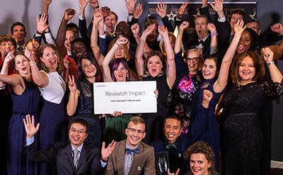
The innovative WorldPop project, led by Andy Tatem, Professor in Geography and Environmental Science, has received a Vice-Chancellor’s Award for its work since 2013 in Central and South America, Africa and Asia. The team won the University of Southampton’s Research Impact Award for generating knowledge and technologies with real economic and social benefit for the world.
“We use big datasets to put people on the map in countries where recent and reliable census information are often not available,” explains Andy. “Mobile phone records can give data on population presence every minute of every day and satellites can provide maps of individual buildings across countries. Analysing the data, we can provide information about communities to integrate with traditional statistics to assist governments to decide where to provide healthcare and infrastructure. This supports them in improving their planning and is invaluable if disaster strikes.”
The initiative began with the AfriPop project back in 2004 to help map malaria risk in East Africa. Andy found that the population maps of the area were constructed using coarse and outdated census data, so he started creating his own. Assignments soon followed in different countries to support decision-making by supplying detailed and accurate population information and the team grew and changed its name to WorldPop.
“We are using the results of blue skies research to benefit real-world communities. Working at the cutting edge of spatial demography, our team includes geographers, economists, statisticians, computer scientists and ecologists. It’s very satisfying to be able to help people in remote locations through science,” adds Andy.
In Afghanistan, the last census was conducted in 1979 and only covered 67 per cent of the country because of security issues. WorldPop worked with partners including the Bill and Melinda Gates Foundation, Flowminder and UNFPA to produce detailed population estimates for the whole country through integrating survey data, satellite imagery and geospatial datasets in a statistical modelling framework. It was completed in summer 2017, and Andy travelled to Kabul to present the work to President Ghani. The Afghanistan National Statistics and Information Authority recently presented the project at the United Nations World Data Forum and its Deputy Director General Bahadur Hellali has blogged about the research*.
All projects are carried out within strict ethical guidelines with data anonymised to protect individuals’ privacy.