Most tranquil areas of Southampton mapped to create more peaceful journeys with Clean Air Routes website
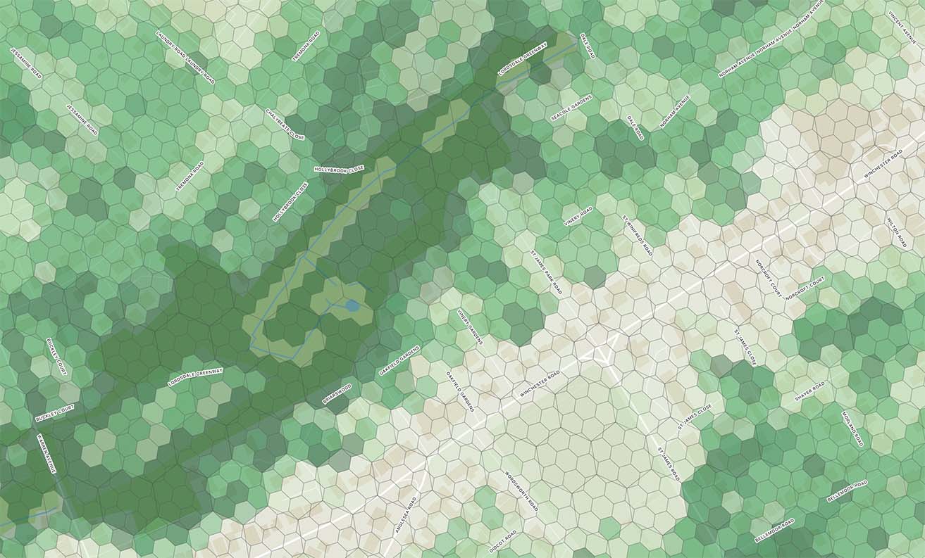
Researchers from the University of Southampton have mapped the tranquillity of Southampton as part of a project to help pedestrians and cyclists take more relaxing and uplifting journeys around the city.
The tranquillity index, developed in partnership with Tranquil City, will feed into a new
‘Clean Air Routes’
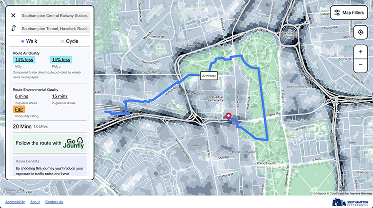
Example routes tested on the web app resulted in 40 per cent more time in tranquil areas, 21 per cent more time in quiet areas, 29 per cent more time with trees and 27 per cent more time with greenery.
The tranquillity index draws on data sets detailing land use, air quality, vegetation and tree cover, water, noise and the road network.
Researchers used machine learning to predict the potential for tranquillity down to individual hexagonal zones.
“We’ve created a formula to predict the potential for tranquillity down to hexagonal spaces measuring just 15 to 20 meters across throughout the city,” says Dr Efstathios Margaritis from the University of Southampton.
“This prediction is based on the amount of man-made noise, which detracts from tranquillity, and the amount of natural features in view, which add to it. We’ve also grouped hexagons together to index tranquillity for larger areas of the city.”
Areas that scored high for tranquillity included Lordswood, Southampton Common, Highfield and
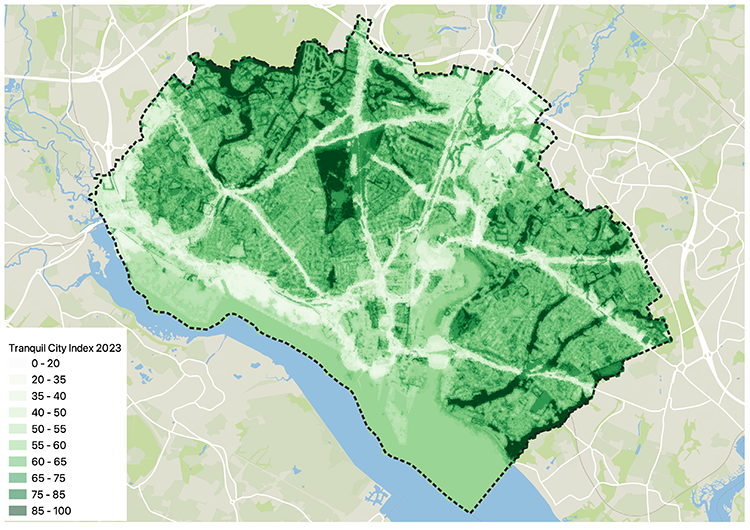
He says: “Tranquillity had been indexed at a national scale, but this low-resolution view tends to show entire cities as lacking tranquillity when compared to national parks and other such natural sites.
“We want to show that you can find quiet spots and comparatively peaceful walking and cycling routes even within a busy city like Southampton.”
Southampton City Council hope that their Clean Air Routes website will help residents reduce their exposure to air pollution (nitrogen dioxide and particulate matter) and boost their mood.
Cllr John Savage Cabinet Member for Green City and Net Zero at Southampton City Council said: “We know that walking away from busy roads is a good way to reduce exposure to air pollution. Fortunately, Southampton boasts numerous green spaces scattered throughout the city, providing opportunities for residents to choose tranquil paths with cleaner air quality.
"By recommending peaceful routes that offer improved air quality, we aim to empower residents to prioritise their health and well-being."
The
Clean Air Routes website
is available