The Air We Breathe – local school pupils venture outdoors to assess air quality
Over 60 pupils from four local schools (Oasis Academy Sholing, Wildern School, St. Marks Church of England School, and Romsey School) joined the School of Geography and Environmental Science for a hands-on geography lesson – outdoors.
The More than Maps team has developed its first outdoors workshop to enable students to learn practical skills using a GPS and Southampton’s Air Quality Map . More than Maps is a public engagement initiative that has engaged over 700 students so far around the globe, from Southampton to New Zealand.
The afternoon began with guest speakers - with Professor Jadu Dash introducing More than Maps and Isabelle Crozier-Morris speaking about her time studying at university and what it is like working as a Senior Earth Observation Consultant with not-for-profit organisation, Satellite Applications Catapult.
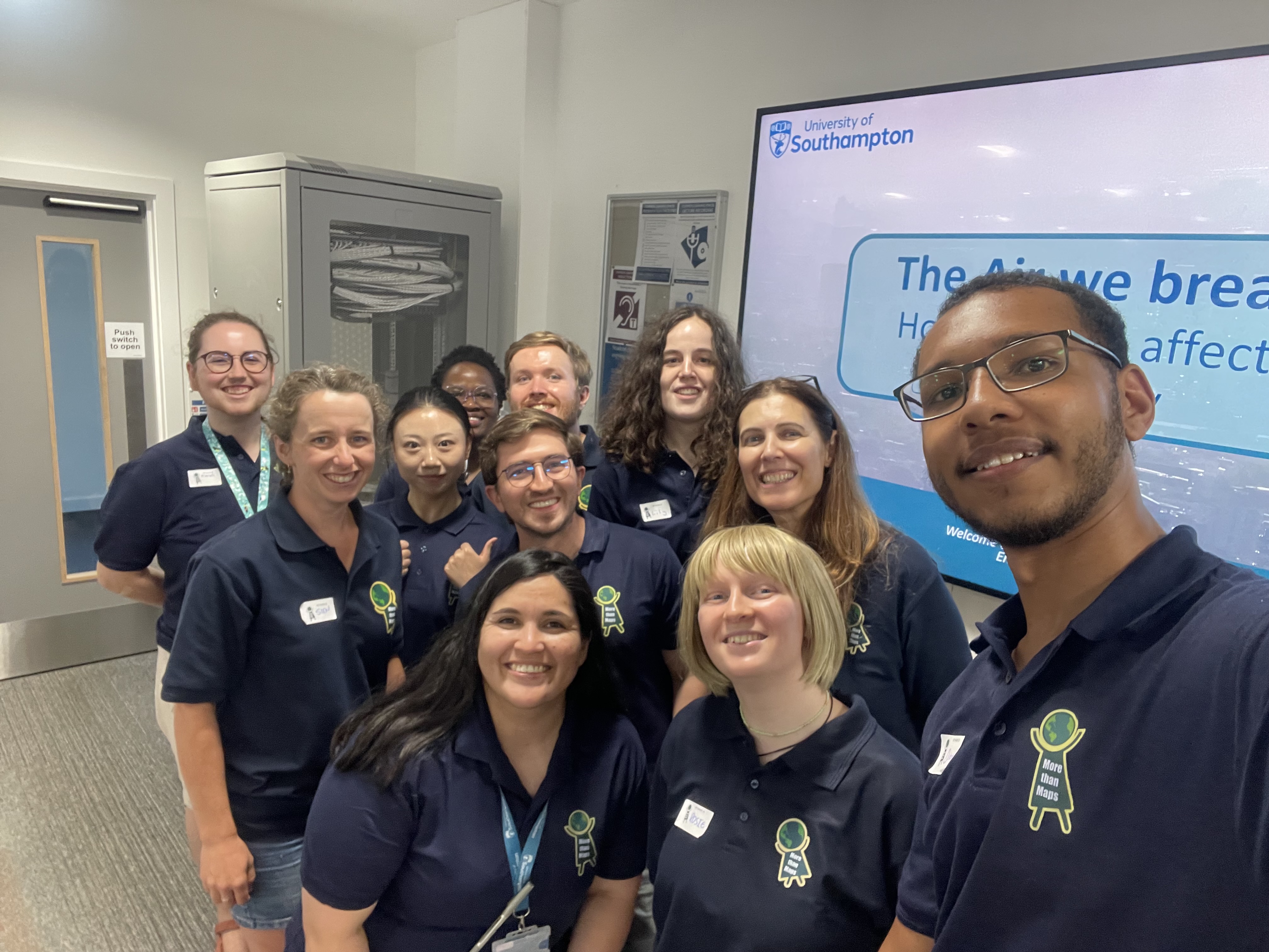
The researchers that produced the workshop then introduced themselves and their work: remote sensing research fellow Dr Daniela Rivera-Marin , whose research uses satellite imagery to study climate and vegetation dynamics; PhD researcher Dion George , who is using satellite data to tackle illegal mining in Ghana; PhD researcher Maduo Makwati-Manyepedza , who is investigating sewage threats to chalk rivers and groundwater; and PhD researcher Cesar Murad Rodriguez , who uses satellite imagery to assess climate adaptation of Boreal forests.
After a brief lesson on how satellite data enables GPS to work, it was time for the outdoor activity.
Students were split into groups, and each group was given one handheld GPS tool. The groups were given coordinates of five locations around campus to find. The students wandered, at first nervously, but gaining more confidence in reading the changing coordinates.
At each location, the More than Maps volunteer or the students’ teacher would pull up the Southampton Air Quality map and have the students place a pin in the location to find the NO2 and PM2.5 levels. Then students were prompted to look around the space to see what might be impacting air quality, making notes on things like cars, construction, trees, and the breeze they felt.
Once back inside, students remained engaged - learning about air quality and how it impacts our health. They were then given the chance to use Google Earth Pro and input their field data to create their own air quality map. Teachers commented on the benefits of getting the students out into the field, learning practical skills, and gaining access to tools that the schools don’t have.
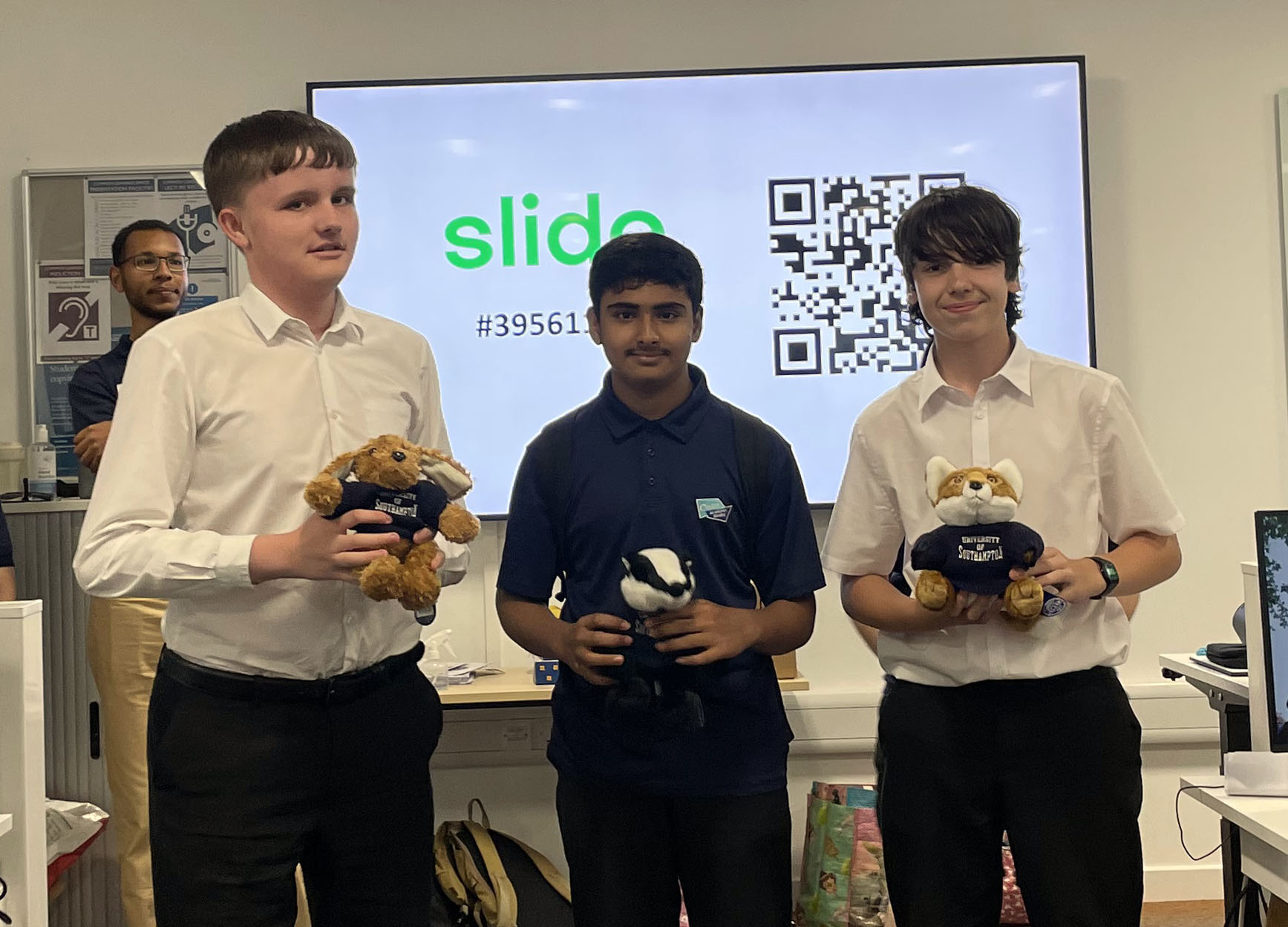
The session ended with a high-energy quiz to test what the students had learned. After each answer was revealed, the room was filled with cheers or groans from those who got the question correct or not. At the end, three winners each received a university mascot.
The excitement of an outdoor activity, combining field work with GIS data analysis, and the great students, teachers, More than Maps team, and volunteers, all made for a brilliant session of teaching the next generation of geographers!
Written by PhD student Kieran James