AI reads centuries-old handwriting to reveal Britain’s vast historic shipping trade
Historians have created a first-of-its-kind online interactive map, using data from hundreds of thousands of pages of centuries-old port records to chart Britain’s growth into a dominant global trading nation.
The University of Southampton project used artificial intelligence to transform information from delicate handwritten ‘port books’ into an enormous database of Britain’s merchant shipping past.
It charts the country’s growth into an Empire during the late-16th to mid-18th century – from the reign of Elizabeth I to George III.
The researchers have recorded hundreds of thousands of voyages, including information about ships, ports, sea routes and goods.
The project revealed that Europe accounted for the majority of Britain’s overseas trade, more than its global colonies.
The researchers also discovered a huge amount of information about what was being traded; with coal as the top commodity, closely followed by ale! Children’s toys, sheep guts, and bowstrings were all popular items, along with a panacea remedy, ‘Venice treacle’
Teaching AI handwriting and spelling
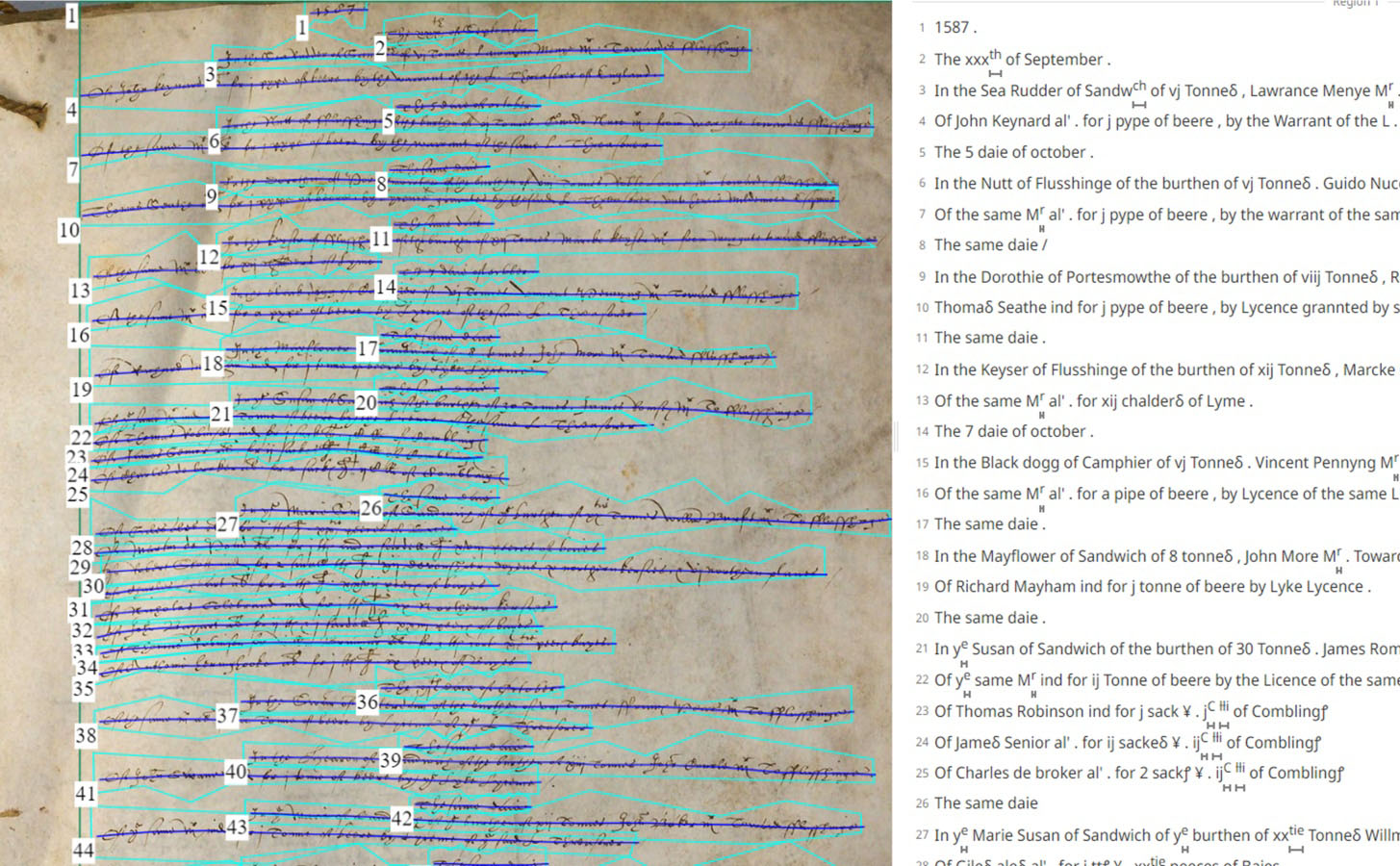
The team used AI to help extract data from the vast number of voyages noted in the handwritten port books – historic documents that form an unbroken 200-year record of individual voyages, ports, ships, shipmasters, and cargoes from 1565 onwards.
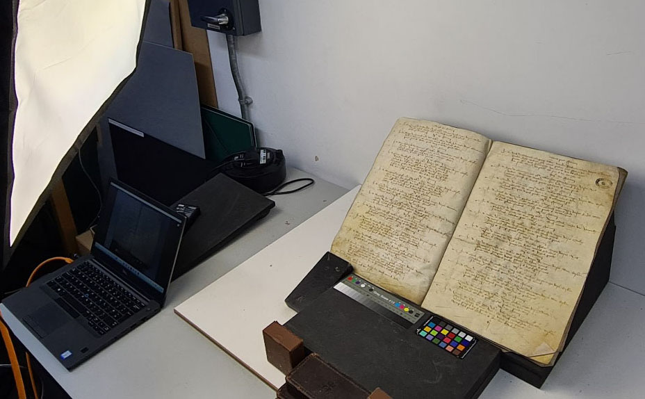
They scanned some 100-thousand pages from the delicate, leather-bound parchment books at the National Archives in Kew. The painstaking process used specialist software to recognise the text, learn, and compile information about who was trading what, with whom, when, and where.
“This was a massive task, completed on a scale not seen before,” said historian and lead researcher Professor Craig Lambert of the University of Southampton. “Without AI extracting and organising the data, this would have taken years. It still needed manual checking, but it sped up the process enormously.
“We taught AI to read the unique handwriting belonging to many different port officials and also the change in spelling of words across the decades.”
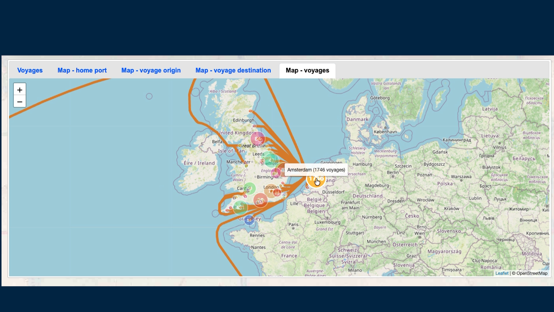
The historians worked with Southampton’s GeoData Institute to translate vast amounts of information from the port books, along with other historical documents, into a database that forms the basis of the interactive map. The map allows users to explore maritime trade through time and from multiple points of interest and angles.
“We wanted to make the information as accessible as possible to the general public, scholars and citizen historians. People can easily explore the data for different periods, trading hubs, ships, goods, routes and more,” comments GeoData’s Professor Jason Sadler.
Europe is a key trading partner
The team identified over three thousand individual ports at home and abroad. This includes over one-thousand British ports in a vast network around the country’s coastal and inland waterways. The project also shows that England's trade with Europe was fundamental to its economy, even as the British Empire expanded.
Taking 1696–97 as an example, European markets accounted for around 80 percent of the recorded value of England's overseas trade – demonstrating that commercial relationships with Europe remained enormously important, despite growing colonial and global connections.
Initial analysis also highlights a strong trading relationship with Europe as a common theme across the two centuries.
Of the top 15 countries by number of recorded maritime locations connected to British trade, 10 were in Europe. France ranked highest with 157 identified maritime sites, followed by 68 in the Netherlands, while India ranked third with 59.
Associate Professor of History and co-lead, Dr John McAleer, says: “It’s interesting to note that even centuries ago, Europe was Britain’s principal overseas trading region, and although Britain had important global connections, most of its core trade was still being done closer to its own shores.”
Coal, beer and miracle cures
In Britain, the South West dominated merchant shipping activity, accounting for 426 recorded maritime locations across the centuries. The Southeast followed with 306 identified sites, while Scotland accounted for 98 recorded maritime locations. The wider London and Thames maritime zone alone contained 135 identified ports, wharves, and landing places.
The records reveal a forgotten maritime landscape of once-thriving ports and trading communities. These range from the lost town of Dunwich and the vanished port of Ravenspurn, to the creek ports of Kent and Essex, the Norfolk havens, Old Winchelsea, Brightlingsea, and St Osyth – places that were once vital to Britain’s coastal and global trade.
Coal was the commodity most frequently recorded in the customs data, appearing in more than 101,000 cargo entries, followed by malt, wheat, iron, wool, and wine. In the records for 1696–97 alone, historians identified over 500,000 imported animal skins, including bear, panther, wolf, raccoon, and otter, highlighting the extraordinary global reach of Britain’s maritime trade.
The records also reveal a remarkable variety of traded goods, including children’s toys from China, sheep guts, bowstrings, exotic animal skins, clock cases, and Venice treacle, a famous early modern remedy believed to cure almost any ailment.