Climate Exp0
The University of Southampton and Public Policy|Southampton has been involved with the creation of Climate Exp0 conference.

The Climate Exp0 online conference (17-21 May 2021) covered 5 thematic aspects around climate change with several interesting presentations and engaging discussions. During my professional and academic career, I have become aware of the importance of information sharing between decision-makers, scientists, and stakeholders to identify effective solutions to address complex environmental issues which are, otherwise, intractable with a unique (and thus inevitably partial) viewpoint. A simple solution can hardly tackle a complex problem without creating conflicts and externalities, and this is particularly true for climate change which impacts the environment and societies in multiple and intertwined ways. In this respect, Climate Exp0 was an excellent forum for different research communities, practitioners and policy makers to discuss the wide breadth of climate change mitigation and adaptation strategies with a multi-disciplinary perspective and policy-oriented mindset. Being online, free, and open to all, the conference was a huge success with thousands of participants connected each day from all over the world.
I was glad to contribute to the discussion within the thematic area “Adaptation and Resilience” by presenting part of the research activities of the UKRI-GCRF funded BRECcIA project. The “Building research capacity for sustainable water and food security in drylands of sub-Saharan Africa” - BRECcIA project is a collaborative research programme addressing water and food security in sub-Saharan Africa. The project involves 6 Universities in UK, Malawi, Kenya and Ghana, and 8 international organizations across Africa for a total of more than 50 researchers with multi-disciplinary backgrounds. The BRECcIA research activities are co-produced with stakeholders at different levels (from local communities to policy makers) to ensure that the research is demand-driven and impact-oriented thus bridging the gap between high quality academic research and real-world water and food security problems. For more details about the BRECcIA research activities, have a look at this recorded presentation (min. 16:40)
The work “Investigating the spatial-basis risk in Weather Index-based Insurances for rainfed maize yield in Malawi using remote sensing datasets” has the ultimate goal of increasing the resilience of those communities whose livelihoods rely on subsistence agriculture, such as in the majority of smallholder farming systems. Almost 95% of the agriculture in Africa is rainfed thus making crop production highly vulnerable to climate related risks, particularly droughts. Weather Index-based Insurance (WII) has emerged as a promising risk coping mechanism to compensate for weather-induced damage to rainfed agriculture. Instead of relying on the assessment of the actual damage experienced by the farmers, which can result in costly and lengthy procedures, WII triggers the insurance payout on the basis of a weather index which is easier to monitor but may suffer from the so-called “basis risk”, i.e., the mismatch between the weather index and the actual agricultural damage, which is often one of the causes hindering the practical implementation of WII.
We analyzed the spatial (across Malawi) and temporal (monthly) correlations of historical maize yield data and several satellite datasets of precipitation, soil moisture and vegetation indexes. Results show that satellite data capture the propagation of water stress from the hydrometeorological to the agricultural compartment and can successfully inform potential WII indexes. Although the crop-water relationship is location dependent and difficult to express with a unique index, the standardized anomaly precipitation in March shows the highest and most spatially consistent correlations. These results show that satellite data provides cost-effective information in data sparse regions capable of anticipating drought-driven food-security risk with 2-months lead-time. This information can be used by decision makers to enrich their portfolio of strategies to counteract the detrimental effect of droughts, which are unfortunately expected to impact wider regions more frequently due to the ongoing climate change. For more details about this research piece, have a look at the recorded live-poster presentation at Climate Exp0 (min. 36:06)
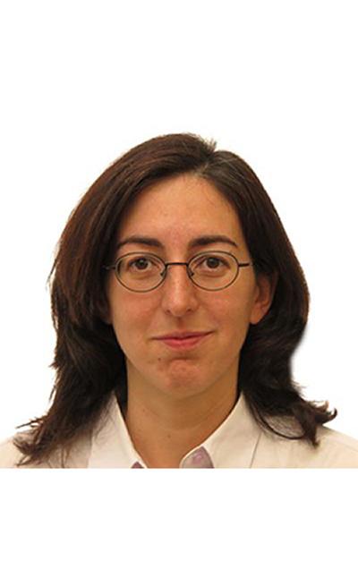
Dr Daniela Anghileri, Research Fellow, University of Southampton

The University of Southampton and Public Policy|Southampton has been involved with the creation of Climate Exp0 conference.

Dr Wassim Dbouk has been selected as part of the Commonwealth Futures Climate Research Cohort, supporting 26 rising-star researchers from 16 countries to bring their expertise to a global stage.

Read Prof. Ian Townend blog, reflecting on his experience participating in the Climate Exp0 conference.

Read Dr Sien Van der Plank blog, reflecting on his experience participating in the Climate Exp0 conference.