About
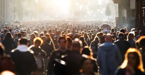
We work to ensure that everyone is mapped and counted in decision making. We develop geospatial integration methods to make detailed demographic datasets. Our work features in Nature, Science, and the Proceedings of the National Academy of Sciences.
Our datasets are used by governments, international agencies, academia, NGOs and the private sector. We work closely with the United Nation agencies and national statistical offices in low and middle-income countries. Our approaches are designed to maximise uptake and impact, and to strengthen local capacity.
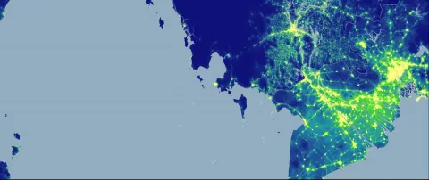
Our work focus areas for development and implementation cover population distributions, demographics and dynamics in resource-poor settings. Our geostatistical modelling integrates data from traditional sources including censuses, and satellite and cellphone datasets.
We produce high resolution maps of:
- age/sex structures
- births
- poverty
- access to services
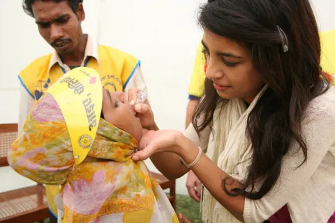
- vaccination coverage
We also develop modelling frameworks for subnational migration flows, urban change and disease spread.
WorldPop is made up of more than 30 members of staff, including demographers, geographers, ecologists, statisticians, epidemiologists and computer scientists.
Principal funders and collaborators include:
- Gates Foundation
- Foreign, Commonwealth and Development Office (FCDO)
- World Bank