About
Stephanie Blankshein is Facility Manager for the Coastal & Inland Waters Heritage Science Facility at the University of Southampton. Her research applies digital and computational approaches to record and analyse archaeological and environmental remains. Her expertise includes aerial and underwater photogrammetry, laser and structured light scanning, geospatial analysis and computational modelling. She is particularly interested in integrating terrestrial and maritime datasets and in bridging natural and cultural heritage through interdisciplinary approaches.
Research
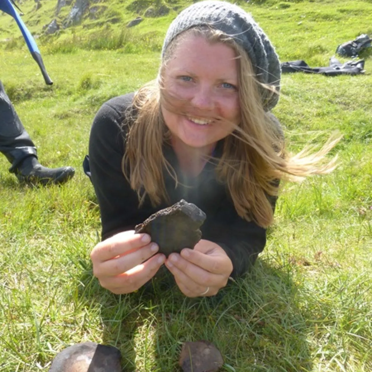
Stephanie has developed this expertise through five years of postdoctoral research on the AHRC-funded Islands of Stone project. She has also led a British Academy-funded project applying 3D radar to freshwater archaeological sites and is Co-lead on an AHRC Impact Accelerator Account grant in partnership with the Calanais Visitor Centre and Western Isles Council, delivering accessible and engaging heritage content.
Her doctoral research examined movement and connectivity in the Neolithic Outer Hebrides using palaeogeographic and palaeotidal reconstructions to computationally model least-cost terrestrial pathways and seafaring routes. This was analysed alongside a geospatial study of the archaeological record to investigate the formation and maintenance of regional cultural identity. Her MSc dissertation focused on the maritime aspects of Iron Age roundhouse settlement in the Hebrides, using sea-level and landcover reconstructions to analyse topographic prominence, visibility and distribution patterns. This research was awarded the Royal Archaeological Institute’s Master's Dissertation Prize (2014–2015).
Teaching and Training
Stephanie has participated in and supervised archaeological fieldwork across the UK and Europe, encompassing both terrestrial and underwater contexts. She integrates her research directly into teaching through modules such as Applied Maritime Archaeology, Photogrammetry and Data Visualisation and Introduction to Scientific Diving, providing students with hands-on experience in survey, excavation and imaging techniques.
In addition to her academic teaching, Stephanie delivers tutorials, training sessions and capacity-building workshops across the UK and Europe, supporting government, non-profit and third-sector organisations in developing expertise in 3D recording, geophysical survey and scientific diving.
Knowledge Exchange and Engagement
Stephanie’s work is rooted in making archaeological research accessible, inclusive and impactful. She co-leads the AHRC-funded Out of Site Impact Accelerator project in partnership with the Calanais Visitor Centre and Western Isles Council, creating app-based tours and immersive digital experiences that connect visitors with Scotland’s island heritage. She has also developed interactive online exhibits and extended reality content, including virtual reconstructions and 360° site tours, to communicate research on submerged and inland water heritage.
She is active in community and public engagement, leading exhibits for local festivals such as the Southampton Science and Engineering Festival and Hands-on Humanities Day, as well as regional and international events including the Farnborough International Airshow and Cowes Week. In addition to presenting regularly at academic conferences, she speaks at community and heritage society events across the UK. Across all these activities, her focus is on connecting heritage research with technological innovation and translating them into socially meaningful outcomes.