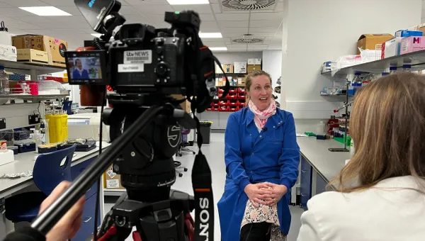
Professor Jadu Dash and his colleagues are at the forefront of using satellite data in a range of applications, from population mapping to ensuring food security. Jadu discusses the new ways in which they're expanding data applications.
Developing new algorithms
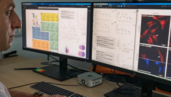
Professor Dash and his team have worked with the European Space Agency to collaborate on satellite programmes. This long-running relationship has enabled the team to develop new algorithms to get the best out of the satellite sensor and develop applications for the data produced which have real-world benefits.
Accurate information on crop productivity and its variation across the country is crucial for policymakers to ensure food security of the population. Professor Dash says that many countries across the world, particularly those in sub-Saharan Africa, do not have this information at the appropriate scale to enable interventions to make the country food secure.
In the 'Building Research Capacity for sustainable water and food security in sub-Saharan Africa' (BRECcIA) project, datasets from multiple satellite sensors - for example Sentinel-2 and Plant Scope - are combined with detailed field observation and crop modelling. This allows estimation of crop production at a field scale. Professor Dash says "The aim is to transfer this approach to BRECcIA partner countries Malawi, Ghana and Kenya to identify underperforming croplands and investigate potential factors responsible for gaps in crop yield."
Three key uses of the data which have changed lives and created real benefits for people across the world are food security, population mapping and responding to natural disasters.
Professor Jadu Dash, Deputy Head Research and Enterprise in the School of Geography and Environmental Science
Mapping health and development indicators
The WorldPop group in the school includes world-leading experts in developing innovative methods to generate detailed information on population distributions and dynamics. Data from different satellite sensors is a key input to a number of mapping approaches, for example, to identify human settlement patterns and change over time.
The group collaborates with satellite image company Maxar to use maps of building footprints across the whole of sub-Saharan Africa to improve accuracies in mapping populations. Moreover, the use of satellite images of the Earth at night helps delineate areas of human habitation, and changes in brightness can indicate timings of seasonal migrations.
Satellite-derived variables on land cover, vegetation, urbanicity, infrastructure and topography can also be correlates of key development or epidemiological metrics in low and middle-income countries, such as poverty or malaria prevalence. The WorldPop group uses these relationships, together with household surveys, to produce high-resolution maps of health and development indicators.
Professor Dash says that satellite images can help us to "quantify damage after natural disasters, track recovery and develop frameworks to respond to new and emerging environmental challenges."