
Child page cards
-

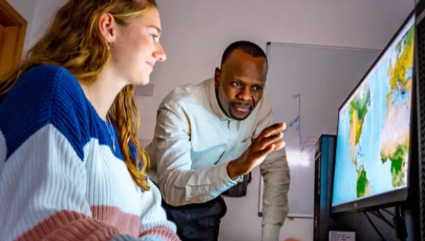
Our people
Meet the geospatial experts working in our interdisciplinary team. -
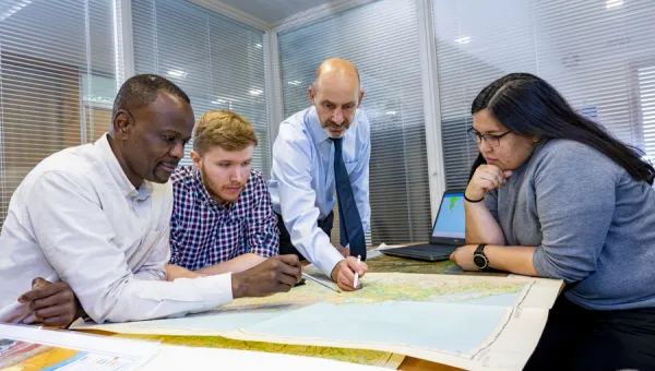
Our projects
Find out about geospatial insights we have provided across disciplines worldwide. -
Use our data about location
Geospatial data can help your organisation make good decisions. Sample our datasets and tools. -
Get geospatial insight
We can help you find out what is happening in any location.
-
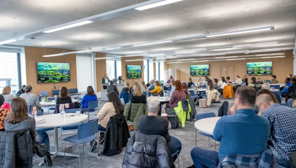
Our events
Explore our schedule of events and speakers.
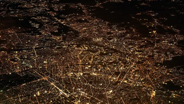

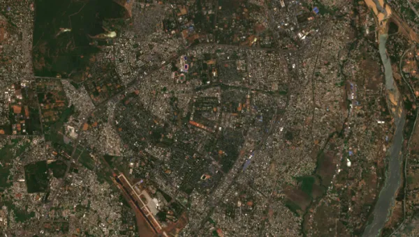
Mapping tomorrow’s population distribution
Research group WorldPop, based at Southampton, is developing maps which can be used to predict the impact of climate change on the distribution of Earth’s population by the end of the century. The maps will provide detailed pictures of humanity by 2100, including predicted population sizes, ages and genders.
-
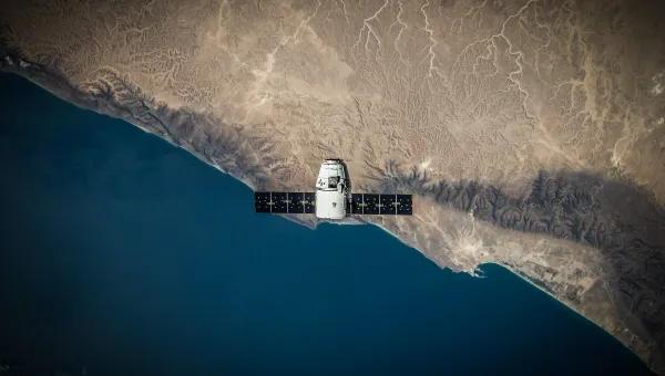
Building greener communities with satellite technology
Scientists at Southampton are using satellite data to assess the carbon production of plants, monitor the Earth’s health, and help create greener, healthier global communities.
-
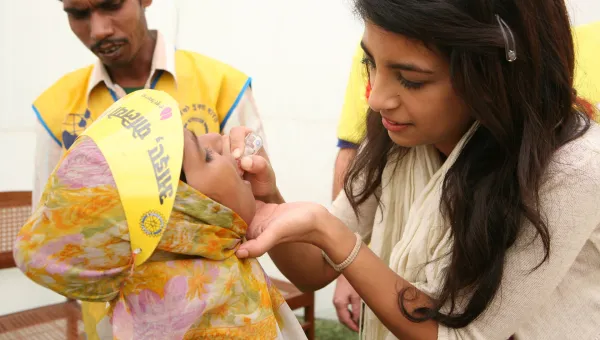
Targeting childhood vaccines globally
WorldPop, a research group led by Professor Andy Tatem, is revolutionising global health efforts by enabling governments to vaccinate children who were previously unreachable.
-
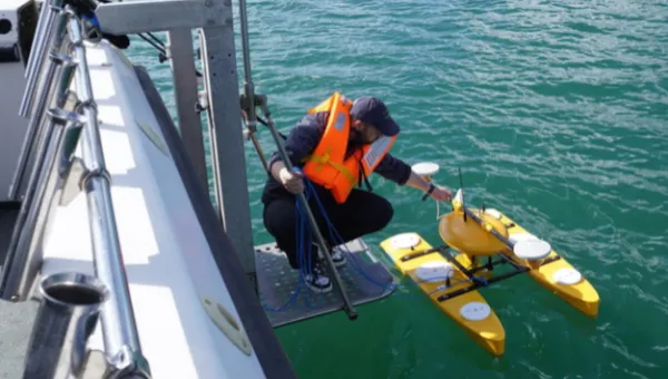
Expanding the use of satellite data to provide real-world benefits
The University is leading research into remote sensing to improve food security, population mapping and disaster response.
Connect with Southampton Geospatial
Collaborating research centres, institutes and groups
-
WorldPop
WorldPop develops peer-reviewed research and methods for the construction of open and high-resolution geospatial data on population distributions, demographic and dynamics. -
GeoData
We manage, analyse and process environmental data. Our consultancy services and interdisciplinary research projects range from managing river catchments and coastal zones to the wider fields of environment, social and economic development.