Course details
- Date: 13 to 17 July 2026
- Duration: 5 days of structured teaching and practical training
- Fee: £1,030 - early rate of £772.50 (25% discount) available until 30 April 2026
- Study mode: In person
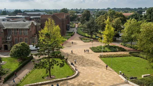
- Location: Highfield Campus
The course fee includes:
- daily lunch vouchers and refreshment breaks
- 1 group dinner at the Centenary restaurant
- a certificate of attendance
University of Southampton students and staff should email geospatial@soton.ac.uk before booking.
Accommodation is available through the University’s hospitality team and you should book this separately from the course fee. University accommodation bookings include breakfast. Rooms are offered on a first‑come, first‑served basis and are subject to availability.
About this course
The course balances theory with hands‑on practice. It includes:
- structured practical training
- expert guest speakers
- a guided learning journey from core principles to advanced geospatial workflows
The course also connects technical skills with real‑world applications. You will learn how the tools work and when to use them in a professional setting.
We work closely with external partners, including Ordnance Survey and other national and international organisations. These partnerships bring together academic research, industry practice and technical expertise in one coordinated programme.
What you will learn
By the end of the course, you will have:
- developed practical skills in AI‑enabled geospatial workflows
- gained hands‑on experience with remote sensing and drone‑derived data
- strengthened applied geographic information system (GIS) analysis skills through real‑world case studies using Quantum GIS (QGIS)
- understood how geospatial methods support planning, environmental management, and decision‑making
- built confidence as you move from foundational concepts to more advanced spatial analysis
Who this course is for
This course is suitable for anyone with a basic understanding of maps and spatial data. It is designed for:
- postgraduate researchers and early career researchers in geospatial and related disciplines
- professionals working with GIS, spatial data, planning, environmental management and related fields
- international and UK participants seeking an intensive short course experience in the UK
We provide clear, step-by-step guidance during the practical sessions, so you can take part whatever your level of experience.
Experience of QGIS, Python, GIS or AI is helpful, but not necessary to take part.
Course leader
Professor Jadu Dash leads the course in collaboration with academics from across the University.
Book this course
You can book your place on the course and accommodation through our Online store.
Cancellation policy
If you have to cancel your booking, you’ll receive a refund based on the date you cancel:
- on or before 13 May: full refund
- 14 May and 12 June: 75% refund
- 13 June and 12 July: 50% refund
- from 13 July: no refund
If you don't attend the course and haven't cancelled your booking in advance, you won't receive a refund.
Accommodation fees
Accommodation refunds are calculated separately:
- on or before 13 May: full refund
- from 14 May: no refund
If you’re unsure about your situation, contact us as soon as possible so we can advise you on the next steps.