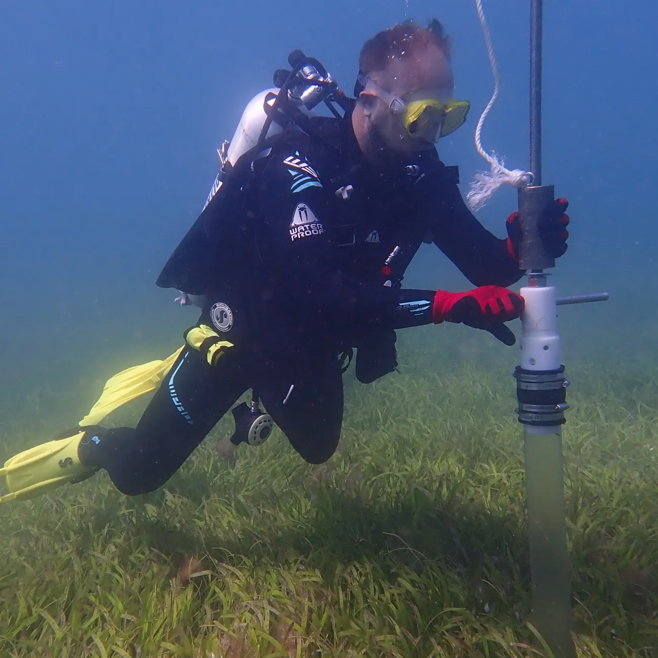
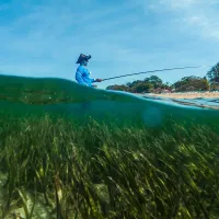
Southampton researchers are part of an international project setting out to map, research and help protect vital seagrass meadows across Kenya, Tanzania, Mozambique, and Madagascar.
Under threat
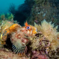
Seagrass meadows play a crucial role in mitigating climate change by drawing down and storing carbon dioxide from the atmosphere. They also form vibrant coastal habitats that support a wide range of species, including sea turtles, seahorses, manatees, dugongs, and many fish species, with juvenile fish using the meadows as nurseries.
However, they are declining at an alarming rate due to coastal development, pollution, climate change, and damage from boats. Global estimates suggest we lose an area of seagrass equivalent to two football pitches every hour.
As part of the Large-Scale Seagrass Mapping and Management Initiative (LaSMMI) Southampton researchers will work with the Western Indian Ocean Marine Science Association (WIOMSA), The Pew Charitable Trusts and regional partners to develop the first field-verified seagrass map across Kenya, Tanzania (including Zanzibar), Mozambique, and Madagascar.
The maps will provide essential data for governments, conservationists, and marine spatial planners to better protect and manage seagrass meadows across the Western Indian Ocean.
“LaSMMI represents a crucial step toward ensuring the Western Indian Ocean's coastal ecosystems are recognised, protected, and integrated into global climate strategies,” says project lead Dr Gwilym Rowlands, Associate Professor for marine conservation and management at the University of Southampton.
By bridging the gap between science and policy, this initiative will drive meaningful conservation actions that benefit both marine biodiversity and coastal communities.
Dr Gwilym Rowlands, Associate Professor for marine conservation and management
Seagrass meadows can capture and store carbon dioxide. Despite accounting for less than 0.1% of the seafloor, they have been estimated to store 10 to 18 per cent of total ocean carbon storage.
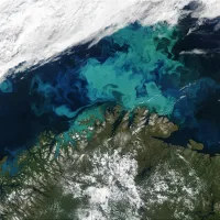
The LaSMMI project will use satellite imagery analysis and field verification techniques to produce highly accurate maps of these vital habitats. Seagrass will be mapped in shallow water environments found along a combined coastline of more than 6000 miles and spread across more than 800,000 square miles of sea area.
"Seagrasses are the unsung heroes of our oceans - vital for marine life, coastal communities, and the fight against climate change,” says Dr Arthur Tuda, Executive Director of WIOMSA.
“Yet, they remain among the least understood and least protected ecosystems. Through the LaSMMI project, we are unlocking the power of science and collaboration to bring seagrasses into the spotlight, ensuring they are mapped, valued, and safeguarded."
Ongoing research benefits
As well as mapping seagrass, the project aims to enhance research and policy integration. It will
- assess carbon stock values across the region to support climate strategies
- strengthen local research capacity through training and workshops on data collection, analysis, and field verification
- raise national and regional awareness about seagrass conservation and its role in climate mitigation
- strengthen policy by incorporating seagrass data into Nationally Determined Contributions (NDCs) under the Paris Agreement, marine spatial planning, and management and sustainability frameworks.
The University will be working closely with research institutions in the region, including the Kenya Marine and Fisheries Research Institute, the University of Dar es Salaam and the State University of Zanzibar (Tanzania), Eduardo Mondlane University (Mozambique), and the University of Toliara – Institute of Fisheries and Marine Sciences (Madagascar).