Research project

Geospatial data for NBS in Studland Bay

Project overview

This FELS Geospatial demonstrator project seeks to build new partnership with the Dorset Coastal Forum, facilitating knowledge exchange and supplementing their baseline data with state-of-the-art geospatial data/ measurements needed to inform nature-based solutions (NBS) for coastal protection and habitat conservation in Studland Bay Marine Conservation Zone.

Staff

Lead researcher

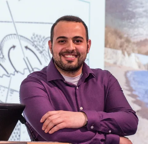
Dr Hachem Kassem

Lecturer

Research interests

  • Nearshore hydrodynamics and coastal sediment dynamics
  • Coastal and ocean engineering and flow-structure-seabed-biota interactions
  • Adaptive, nature-inclusive solutions to climate-mediated geohazards, including flooding, erosion and habitat degradation
Other researchers

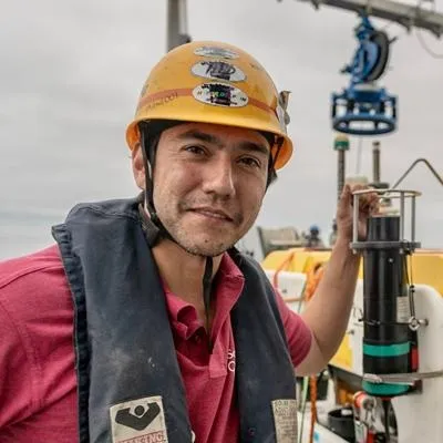
Professor Blair Thornton

Professor of Marine Autonomy

Research interests

  • Autonomous robotic platforms allow detailed observations to be made over large areas in the ocean. For these systems to be useful, it is necessary to develop advanced sensing capabilities and methods to allow the robots to safely navigate and accurately localize themselves in complex, GPS denied environments. Once observations have been made, it’s necessary to interpret the large volumes of data that are gathered in an efficient and scalable way. For more information on research activities, please visit the Ocean Perception research website.
  • Seafloor 3D visual reconstruction: Development of deep-sea imaging hardware and processing pipelines for calibration, localisation and 3D mapping of the seafloor with full-field uncertainty characterisation.
  • BioCam (NERC NE/P020887/1): Development of a deep-sea, high-altitude seafloor imaging system for monitoring seafloor ecological variables as part of the Oceanids Marine Sensor Capital program. This project is a collaboration with Sonardyne International Ltd, the National Oceanography Centre and the ACFR University of SydneyAT-SEA (NERC NE/T010592/1): 3D visual survey of decommissioned seafloor infrastructure using a shore launched Autonomous Underwater Vehicle (Boaty McBoaface) as part of the INSITE program. This project is a collaboration with the National Oceanography Centre. Automated interpretation of data: Development of AI methods for rapid scalable interpretation of seafloor imagery.

Ken Collins

Professor Julian Leyland

Professor

Research interests

  • Fluvial and Intertidal Geomorphology
  • Remote Environmental Sensing
  • UAVs, USVs and Autonomy in Geoscience

Dr Charlie Thompson

Associate Professor

Research interests

  • Coastal Monitoring
  • Coastal Processes
  • Sediment Stability, Resuspension and Exchange processes

Collaborating research institutes, centres and groups

Research outputs

Back
to top